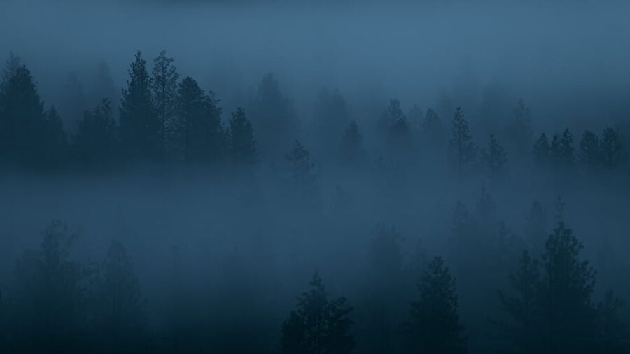
The first sign on Highway 101 hits before you’ve registered the town. “The City of Forks Welcomes You”, green-and-white, the same sign in Bella Swan’s voiceover when her plane lands in Phoenix and she narrates the move to Charlie’s place. I pulled into the parking lot behind it on a Tuesday in October, twenty-two minutes after passing a Subway in Sappho and clearing my last bar of cell service. There was a red 1950s pickup truck parked in front. The license plate said “Bella”. A woman in her thirties was crying into her boyfriend’s flannel. Two teenagers behind them were debating, in absolute earnest, whether the truck was the book version or the movie version. (Both. Forks has both. The Chamber of Commerce makes you walk past one to photograph the other.) Welcome to Forks, Washington, population 3,446, the rainiest town in the contiguous United States, and the only place I’ve ever been where the tourist office cheerfully hands you a Twilight souvenir map before you’ve even said hello.
If you’re reading this, you probably already know the basics. Stephenie Meyer wrote the first Twilight book in 2005 after Googling “rainiest town in America” looking for a setting that justified a coven of vampires hiding in plain sight. Forks won. She’d never been there when she wrote it. The first movie premiered in 2008. The series sold somewhere north of 160 million copies, the films pulled in over $3.4 billion worldwide, and Forks went, in about eighteen months, from a logging town nobody outside Clallam County could find on a map to a destination that draws over 80,000 visitors a year, most of whom only know it from a book.
Twenty years on from the first book and a few good years into the saga’s nostalgic re-watch era, the town is still leaning into Twilight, only now it’s affectionate-knowing rather than capitalising-on-a-trend. This guide is the practical version. What’s actually here, what’s worth a stop, what to skip, and how to spend three or four days in the Olympic Peninsula without spending the whole trip in a parking lot trying to take a photograph of a hospital sign. If you also want to read the book on the drive in, that’s between you and the rental car.
In This Article
- Where Forks actually is, and how long the drive really takes
- Forks Visitor Centre and the self-guided Twilight map
- Forever Twilight in Forks Collection
- Forever Twilight in Forks Festival
- The self-guided town tour: which stops are worth it
- The Swan house
- Forks High School
- Dr. Cullen’s parking spot
- The Cullen house at the Miller Tree Inn
- Forks Police Station and the rest of the small stops
- The shopping street: which Twilight stores are actually worth it
- La Push, the treaty line, and First Beach
- The treaty line sign at Three Rivers Resort
- First Beach, Second Beach, Third Beach
- Rialto Beach and Hole-in-the-Wall
- Ruby Beach
- The Hoh Rain Forest, the Olympic Peninsula’s main event
- Sol Duc, Lake Crescent, and Hurricane Ridge
- Sol Duc Falls and Hot Springs
- Lake Crescent
- Hurricane Ridge
- Port Angeles, Bella Italia, and the prom-shopping detour
- Where to stay in Forks, La Push, and Port Angeles
- Stay in Forks if you want to maximise Twilight time
- Stay in La Push if you want the beach at sunrise
- Stay in Port Angeles if you want a real town
- Stay in the National Park if you mostly came for the rainforest
- Where to eat in Forks (and what to skip)
- Books vs. movies: a note for first-timers
- The weather, properly
- How to plan four days in Forks: a working itinerary
- If you’re reading along: where this trip fits in the Read and Travel Challenge
- Tours, festival tickets, and one-day options from Seattle
- One last practical thing
Where Forks actually is, and how long the drive really takes
Forks sits on the western side of the Olympic Peninsula, a peninsula the size of Belgium that hangs off the northwest corner of Washington State. From Seattle the drive is about three and a half hours, and the rough numbers run like this:
- Sea-Tac Airport to Forks via the Bainbridge Island ferry and US-101: roughly 3.5 to 4 hours including the half-hour ferry
- Sea-Tac to Forks driving the long way around through Olympia and Aberdeen: about 4.5 hours, no ferry
- Port Angeles to Forks: 1 hour, 56 miles, mostly along Lake Crescent
- Portland to Forks: 4 to 5 hours depending on the I-5 weather
I’d take the ferry. Bainbridge to Seattle is the better-photographed crossing but the route from Seattle puts you on Bainbridge with the sun on your face, hands you a 35-minute coffee window on Puget Sound, and dumps you onto US-101 with the mountains already on your right. The boring version, around the south end of the Sound, gets you there at the same hour but you’ll arrive resenting the trip.
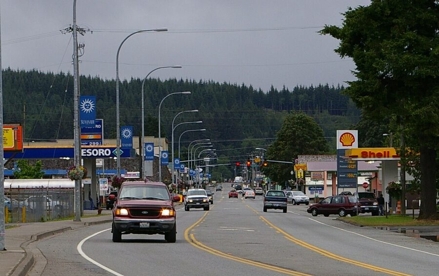
The town itself sits on a single strip of US-101 with a three-block grid hung off the side. Forks Avenue, Spartan Avenue, Division Street, Bogachiel Way. That’s the whole map. Olympic National Park’s main visitor centre is in Port Angeles, but Forks is the western base for the rainforest, the Pacific beaches, and Lake Crescent’s south shore.
Forks Visitor Centre and the self-guided Twilight map
Your first stop is the Forks Chamber of Commerce at 1411 S Forks Avenue. It looks like every chamber-of-commerce visitor centre in small-town America: clapboard siding, a flagpole, brochures for whale watching and lavender farms. Walk in. Half the room is a Twilight gift shop. The volunteer behind the desk will hand you a free folded map of every Twilight location in town and within a thirty-minute drive, ask where you’re from, and add a pin to a wall map that has been growing since 2008. There were pins from forty-six countries when I went. They release the visitor stats publicly each year, which is the kind of small-town transparency I want to see more of.
Outside, in the gravel lot, you have:
- The “City of Forks Welcomes You” sign that opens the first film
- Bella’s red Chevy truck, “movie version”, with “BELLA” on the plate
- A second, slightly different Bella truck, “book version”, a little older, parked behind the first
- A wooden cut-out treaty-line sign for photographs without driving to La Push
Take the photographs, sign the guest book, drop a few dollars in the donation jar inside, and grab the map. The map is the only practical document you need for the day, and it’s free. Phone photographs of the map work too if it’s pouring, which it will be.
Forever Twilight in Forks Collection
A two-block walk up Forks Avenue, the Forever Twilight in Forks Collection lives in a single room of the Rainforest Arts Center at 35 N Forks Ave. It’s the largest collection of original costumes and props from the films anywhere in the world, and it’s free, and most people miss it. Hours change with the season: in summer it’s open Thursday through Monday, 12 to 4 pm; in winter it shrinks to Friday and Saturday, 12 to 4. Reservations aren’t required but the box office can hold a slot if you call. Twenty minutes is plenty for the whole room. Tip the volunteer running it; they’re keeping the lights on.
What’s actually in there: Carlisle Cullen’s lab coat (signed by Peter Facinelli), a couple of Bella’s prom looks, original screenplay pages, the wedding dress mockup, behind-the-scenes Polaroids the crew left behind, and a cabinet of international book covers that’s a small joy if you’re a publishing nerd. There’s a cardboard cut-out of every main character if you want a photo. The volunteer will offer to take it.
Forever Twilight in Forks Festival
If you can plan around it, the Forever Twilight in Forks Festival is held the weekend closest to Bella Swan’s birthday on September 13. The 2026 dates are September 10 to 13. Four days, with cast members from the films, themed parties, costume galas, breakfast meet-and-greets, panel discussions, and a Bella’s birthday party that books out months in advance. Tickets for the gala and the breakfasts go fast. Most other events are free. Lodging in Forks for festival weekend is essentially gone by April every year, so book accommodation in Port Angeles or Sequim and accept the drive if you’re committing late.
The self-guided town tour: which stops are worth it
The map the Chamber of Commerce hands you lists thirteen or so Twilight stops in and around town. Some are great. A couple are functioning private homes, schools, or hospitals where the Twilight angle is, charitably, a sign on a parking spot. Here’s the keep-or-skip sort, in roughly the order they make sense to drive.
The Swan house
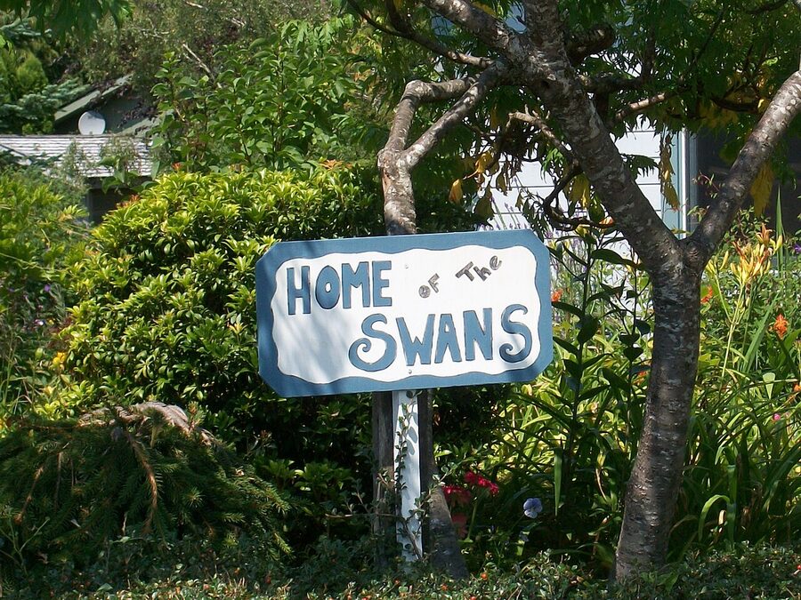
Charlie and Bella’s home as described in the books, at 775 K Street. It’s a 1905 farmhouse with a small sign out front explaining its inspiration role, and the owners are gracious about photographs. They also rent it on Airbnb under “The Swan Home”, which is the only stop on this list where you can actually sleep in the fictional setting. Park at the curb, take your two photographs, do not walk into the yard, and drive on. People live here.
Forks High School
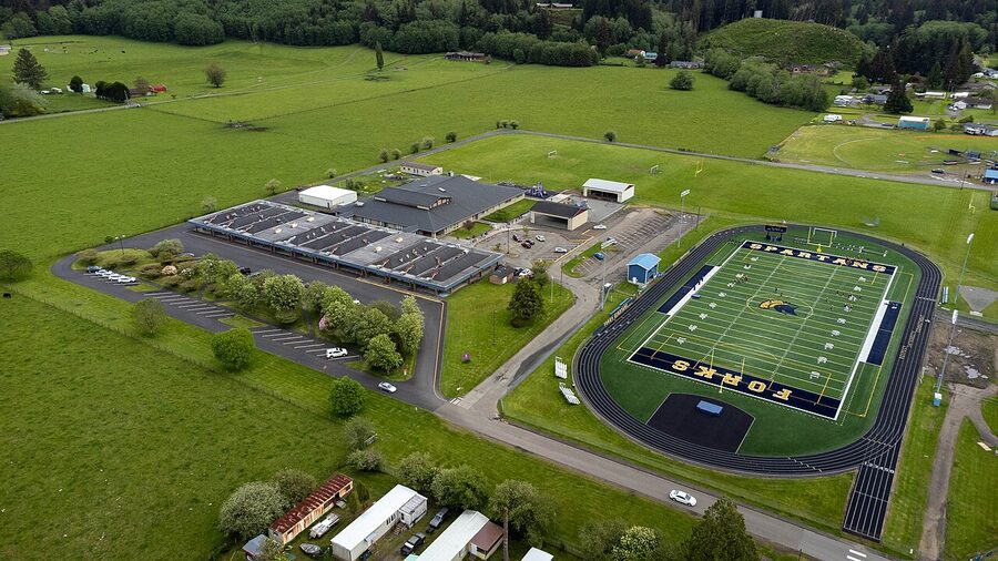
261 Spartan Avenue. Functioning high school, real students, real teachers. There’s nothing Twilight-themed at the building itself beyond the sign, and even The Manic Wanderer’s self-guided write-up admits she skipped photographing it because it felt strange to take pictures of a working school. I agree. Drive past, mark it off mentally, keep going. If you’re rabid for a sign, photograph the green-and-white Spartans sign on the front lawn from the public sidewalk, and don’t loiter.
Dr. Cullen’s parking spot
Forks Community Hospital, 530 Bogachiel Way. The hospital painted “Dr. Cullen, Vampire Parking Only” on a single space near the administration building (it’s on 5th Street, around the back, not the main entrance). It’s a small joke, well-executed, and the staff are used to people taking photographs from the public sidewalk. Two minutes total. Don’t park in it; people who actually work at the hospital occasionally use the space.
The Cullen house at the Miller Tree Inn
This is the one stop where the inspiration material is actually open to you. The Miller Tree Inn at 654 E Division Street is a 1916 farmhouse that matches Stephenie Meyer’s book description of the Cullen house: white paint, three storeys, wrap-around porch. They’ve leaned all the way in. There’s a replica of the graduation caps wall art from the dining room of the films, an “office” labelled for Carlisle Cullen, and a guest book that reads like a fan-fiction archive in cursive. Stay there if you want the full bit. If you don’t, walk up the driveway during stated daylight visiting hours, take a few photos from the porch, and sign the guest book.
Forks Police Station and the rest of the small stops
500 East Division Street. There used to be a small Charlie Swan tribute display inside the station with a free souvenir badge. Multiple sources, including recent visitor reports, confirm it’s no longer there. Skip it unless you’re a completionist with thirty extra minutes.
The shopping street: which Twilight stores are actually worth it
There are five places to buy Twilight merch, and they aren’t all the same:
- Native to Twilight (10 N Forks Ave) is the best one. Half Twilight memorabilia, half Quileute and Pacific Northwest art. The Quileute side is the reason to go. Cardboard cut-outs of every main character if you want a photograph with Edward without paying for the festival. Some original cast-signed pieces in a glass cabinet near the till.
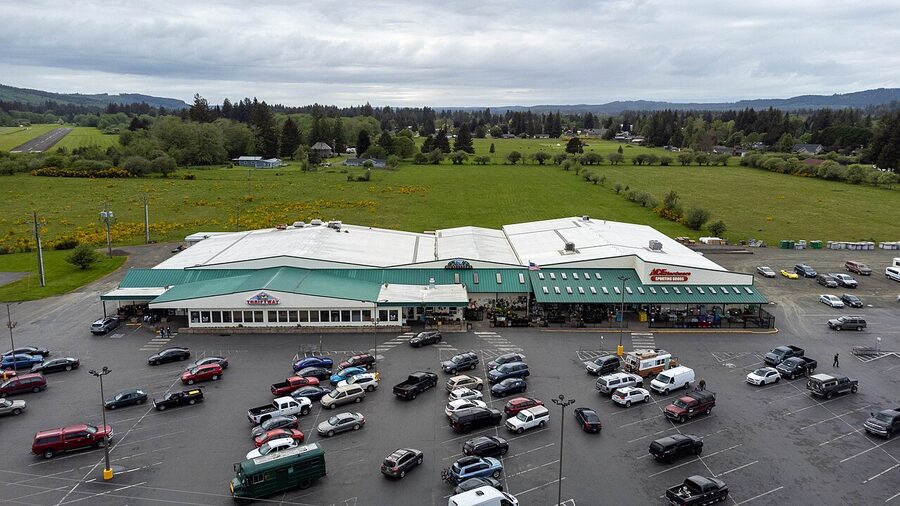
- Forks Outfitters at 950 S Forks Ave is the in-book Newton’s Olympic Outfitters where Bella works. In the real world it’s a four-in-one: full grocery, hardware, outdoor apparel, and a small Twilight section. This is your stop if you’re staying in a cabin and need food, propane, and a souvenir hoodie.
- Chinook Pharmacy sells a slightly more random Twilight selection alongside actual prescriptions. If you’ve been hiking and your knee hurts, you can pick up ibuprofen and a “Vampire’s Kiss” candle in the same checkout queue, which is funny in a way I can’t fully justify.
- Fog & Fern on Forks Avenue is a Pacific Northwest boutique with a small Twilight section. It’s the only shop in town where I’d buy a non-Twilight piece of clothing as a souvenir. Their custom T-shirt bar in the back will print whatever you can find in their catalogue.
- Twilight Central on Spartan Avenue is fine. If you’ve already been to Native to Twilight you can skip it.
One closed: Dazzled by Twilight, the original 2008-era flagship, shut down years ago. Don’t drive looking for it.
La Push, the treaty line, and First Beach
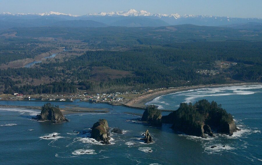
From Forks, take Highway 110 west fifteen miles to La Push. The drive itself is the kind of narrow, fern-walled, two-lane road the films borrowed for almost every aerial shot of Bella’s truck. Roll the windows down. About ten minutes in, on the left, you’ll see a yellow road sign announcing the treaty line.
The treaty line sign at Three Rivers Resort
Park in the gravel lot at Three Rivers Resort at 7764 La Push Road. Walk to the road. The sign has two sides:
- “No Vampires Beyond This Point” with a wolf silhouette, facing east
- “Welcome Twilight Fans” facing west, the side you photograph if your back’s to La Push
The Three Rivers cafe inside the resort serves a Werewolf Burger, a Bella Burger, and a cherry Vampire Shake. The Jacob Black Shake gets recommended a lot. It’s a strawberry-banana milkshake. It’s fine. The food is solid roadhouse rather than a destination, but if you’re already there for the photo it’s a sensible lunch.
First Beach, Second Beach, Third Beach
La Push has three numbered beaches and a clear hierarchy:
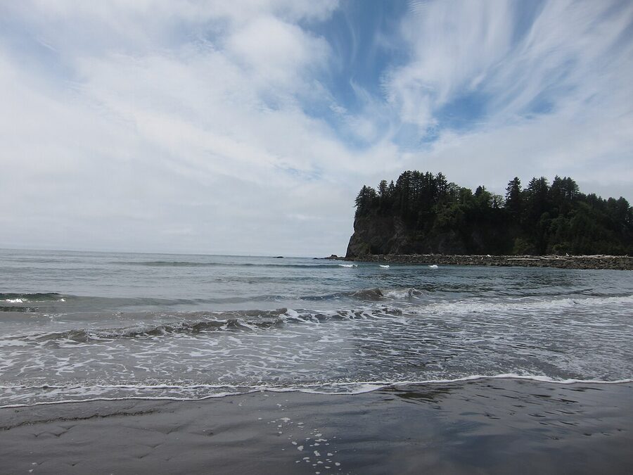
- First Beach: drive right up. Day-use $10 from the Lonesome Creek Store. Quileute tribal land, so be respectful, no drone footage, no video. Sand is dark grey. Sea stacks offshore catch every sunset, and grey whales spout near the shore in spring. Two and a half hours is enough for a slow walk and a coffee from the resort.
- Second Beach: the prettier one, in my opinion. A 0.8-mile forest-walk hike in from the trailhead just south of La Push, an hour round-trip. Black sand, sea stacks closer to shore, bigger driftwood. This is where I’d go for the moodier photographs and the actual filming-of-Twilight feeling, even though the original films shot the La Push scenes at Cannon Beach in Oregon.
- Third Beach: 1.3 miles in, half steep, ends in driftwood-clambering. There’s a waterfall at the south end at low tide. The longer hike means smaller crowds, even in August.
Second and Third Beach are part of Olympic National Park, so you’ll need a park pass for the lots: $30 for a 7-day vehicle pass or $80 for the America the Beautiful annual.
Rialto Beach and Hole-in-the-Wall
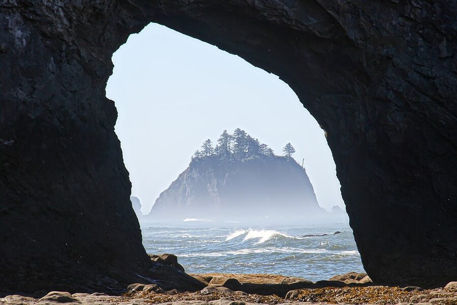
Rialto Beach isn’t in Twilight, but the books would have been a different proposition without it. It’s eighteen minutes north of La Push by car, on Mora Road, and it might be the best beach on this part of the coast. Head to the National Park Service page for current conditions, then check tide charts. The classic walk is the 3.5-mile round-trip to Hole-in-the-Wall, a natural rock arch you can only walk through at low tide. It’s flat sand and pebble walking the whole way, but the last section to the arch is impassable above mid-tide.
Ruby Beach
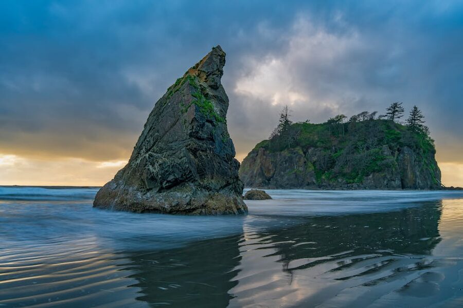
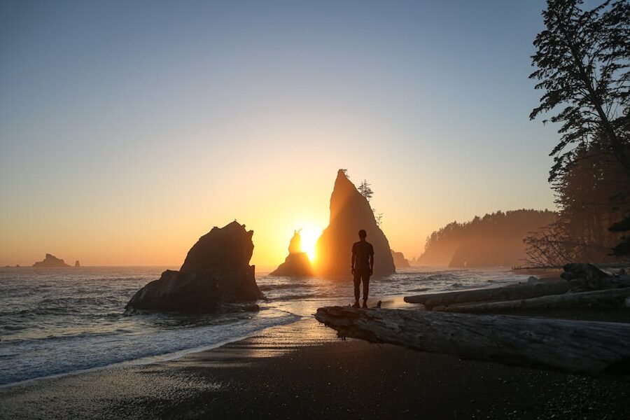
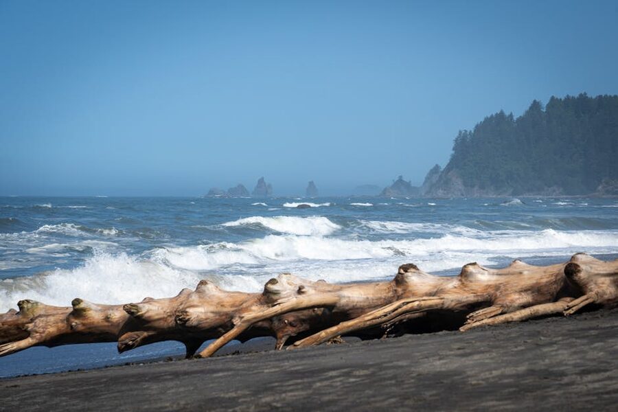
Ruby Beach is a 35-minute drive south of Forks on US-101, technically inside Olympic National Park, and is the textbook Pacific Northwest beach: dramatic sea stacks, drift logs the size of cars, and a creek that meanders to the surf. Locals send you here for the tide pools. The NPS Kalaloch & Ruby Beach page is the clearest source for current closures and the access trail (the parking lot was closed for restoration work in 2023, so confirm before you drive). It’s not a Twilight stop in any literal sense; it’s a Twilight stop because every aerial mood shot in the films looks exactly like this.
The Hoh Rain Forest, the Olympic Peninsula’s main event
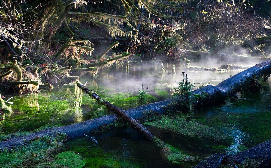
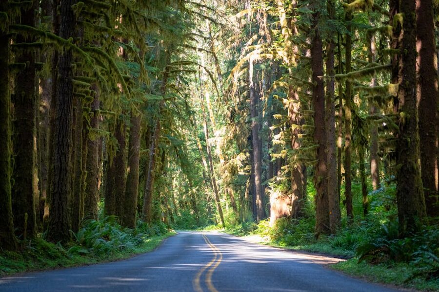
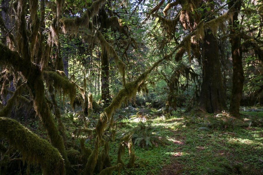
If you only do one non-Twilight thing on this trip, do the Hoh. The Hoh Rain Forest visitor centre is 45 minutes from Forks down a dead-end road. It receives between 140 and 170 inches of rain a year, which is why every tree is wrapped in club moss and licorice fern, and why the ground squelches even on a “dry” day. The light through the canopy on a sunny morning is the closest a Washington forest gets to the green of the films, including the spider monkey scene that everyone has either an opinion on or refuses to.
Two hikes are the standard:
- Hall of Mosses: 1.1-mile loop, flat, easy. The big-leaf maples in the second half are the photograph everyone takes. Allow an hour with photo stops.
- Spruce Nature Trail: 1.4-mile loop, also flat, follows the Hoh River. Quieter, slightly less spectacular, but the river bend is gorgeous and it adds an hour to the visit.
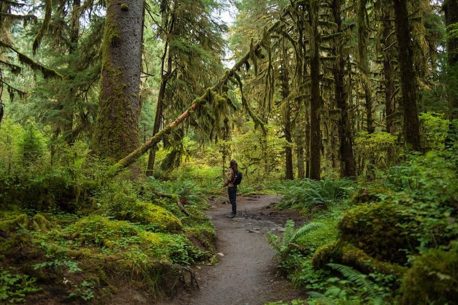
The visitor centre, ranger talks, and the small interpretive shop are all worth ten minutes. Park entrance is the same $30 vehicle pass for seven days. Cell service ends about ten miles in; download the trail map. There’s a single bathroom block, and it’s clean.
Sol Duc, Lake Crescent, and Hurricane Ridge
Sol Duc Falls and Hot Springs
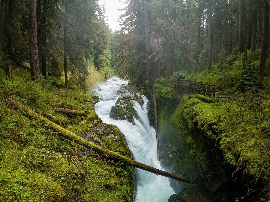
Forty minutes from Forks via the Sol Duc Hot Springs Road off US-101, the Sol Duc valley is where I’d send anyone with one extra day. The 0.8-mile out-and-back walk to Sol Duc Falls is the easiest big-payoff hike in Olympic National Park; the falls split into four cascades over a wooden footbridge. There’s a longer Lover’s Lane loop (six miles, three to four hours) that ends back at the Sol Duc Hot Springs Resort, where you can soak in three pools that run between 99 and 104 degrees. The fourth pool is a cold plunge that runs about 65 degrees in shoulder season. Day-use soak is around $20 in 2026; book ahead in summer. After a wet hike you’ll feel like a vampire who’s just remembered they were warm-blooded once.
Lake Crescent
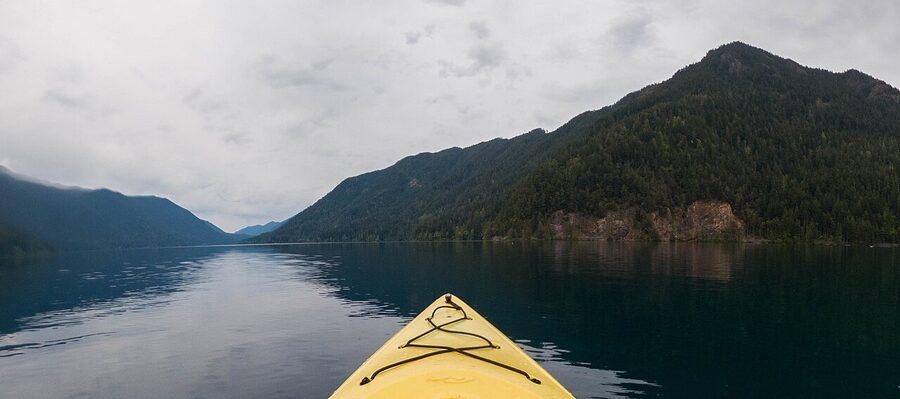
You drive past Lake Crescent on the way between Port Angeles and Forks, and you should stop. Either at the Lake Crescent Lodge for a coffee on the lawn looking out, or at the Storm King Ranger Station for the 1.7-mile round-trip walk to Marymere Falls (an easy gravel path). I did the Marymere walk in late October when nobody was around; the falls drop about 90 feet through a basalt cleft, and the ferns going in were absurdly green for that time of year. Lake Crescent Lodge is open seasonally, late spring through mid-fall, and books up months ahead in July and August.
Hurricane Ridge
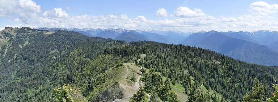
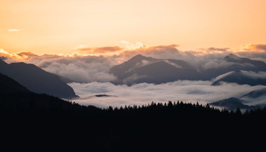
From Hurricane Ridge you’re in alpine territory, snow-capped from October through May. Hurricane Hill is a 3.4-mile round-trip with about 700 feet of climb, and on a clear day the view stretches across the Strait of Juan de Fuca to Vancouver Island. There’s no Twilight tie-in. Add it as a half-day on the Port Angeles end of the trip if the forecast actually promises a sunny window.
Port Angeles, Bella Italia, and the prom-shopping detour
Port Angeles is a small port town on the Strait of Juan de Fuca where Bella, in the first book, drives to shop for prom dresses with Jessica and Angela, gets lost, almost gets attacked, and is saved by Edward, who then takes her to Bella Italia for their first proper date. The bookstore where she actually got lost was fictional. The dress shops were fictional. Bella Italia, however, is real, and at 118 East 1st Street.
Bella Italia is the rare Twilight tie-in that’s worth eating at on the food alone. The mushroom ravioli that Bella orders is a real menu item, has been since the book came out. Reservations are sensible on summer weekends, less so in October. The restaurant has a small Twilight wall but doesn’t lean into it; it’s a proper Italian-American restaurant that happens to have a fictional date in its history. Get the ravioli once for the photograph, then try the salmon if you’re going twice.
Port Angeles itself is also where the Black Ball ferry to Victoria, BC, departs. If you’re doing this as a longer Pacific Northwest trip, it’s a sensible add-on. The waterfront has decent coffee, a small museum, and a couple of breweries.
Where to stay in Forks, La Push, and Port Angeles
Forks has limited lodging, La Push has even less, and the festival weekend in September is essentially a sellout by spring. Three viable bases:
Stay in Forks if you want to maximise Twilight time
- Miller Tree Inn (Cullen House): the only proper themed stay. Eight rooms, full breakfast, the Carlisle Cullen office, and a graduation-cap wall. Two-night minimum on weekends most of the year.
- Pacific Inn Motel: a roadside motel with one Twilight-themed room (Bella’s bedroom recreation, red and black). Book the standard rooms otherwise. See on Booking.com.
- Olympic Suites Inn: cheaper, larger rooms, walking distance to the chamber of commerce. Nothing themed; a normal motel.
Stay in La Push if you want the beach at sunrise
- Quileute Oceanside Resort: oceanfront cabins on First Beach. Ten metres from the surf. Cabins are basic and not cheap; the location is the entire point. Book via Booking.com if their direct site is sold out.
Stay in Port Angeles if you want a real town
Port Angeles is an hour from Forks. You’ll add ten hours of driving over four days, but the food is better, the lodging is better priced, and the harbour walk in the morning is properly nice. Compare Port Angeles hotels on Booking.com.
Stay in the National Park if you mostly came for the rainforest
- Lake Crescent Lodge: seasonal, lakefront, fireplaces, no TVs. Books out by April for July.
- Kalaloch Lodge: bluff-top cabins right above the Pacific, between Ruby Beach and Forks. Bookings open a year in advance.
Where to eat in Forks (and what to skip)
Forks is not a culinary destination, and pretending otherwise does the town a disservice. It’s a logging town that became a tourist town that’s still mostly a logging town. Eat accordingly:
- Blakeslee’s Bar & Grill: classic American pub menu, burgers, salads, and live music on weekends. The cup of clam chowder hit harder than I expected on a wet October afternoon. After 3 pm it’s 21+, so factor that if you’ve got kids.
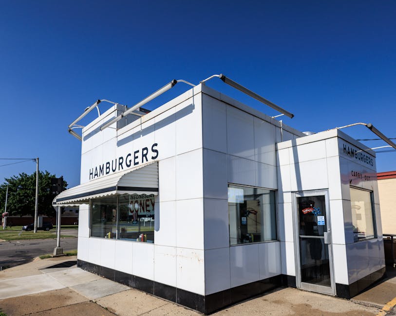
- Sully’s Drive-In: the famous Bella Burger is here. Counter service, minimal seating, fine fast food. Worth it for the photograph and a milkshake.
- The In Place: post-hike comfort food. Mozzarella sticks, onion rings, the kind of cider with a shot of whiskey that fixes a six-mile rain hike.
- Longhouse Cafe (when open): Quileute-led restaurant on the reservation in La Push, serving fry bread, salmon, halibut, and Indian tacos. The 3 Little Indians plate is the easy order. Hours are unreliable; call ahead.
- Three Rivers Cafe: the Werewolf Burger and the Vampire Shake, attached to the resort with the treaty-line sign. Eat here if you’ve already stopped for the photo.
- Pacific Pizza: the easy dinner option if you’ve been driving all day and don’t want to think.
For coffee, A Shot in the Dark is a drive-thru just south of the chamber of commerce that runs morning into early afternoon. Their breakfast sandwich is the only thing I miss about Forks since I left.
Books vs. movies: a note for first-timers

None of the Twilight films were shot in Forks. The first film was shot mostly in Oregon (St. Helens, Portland, Vernonia, Cannon Beach). The sequels moved to British Columbia (Vancouver, Coquitlam, Vancouver Island). Kalama High School in Washington stood in for the exterior of Forks High; Madison High School in Portland was the interior. The Cullen house in the films was a modernist glass cube in West Vancouver. Cannon Beach in Oregon plays La Push.
So the entire Forks tour is, technically, a tour of book locations, made real by a town that decided to play along. That’s why the Cullen house at the Miller Tree Inn matches the novel’s description (white, three storeys, wrap-around porch) rather than the film’s. The locations were the inspirations for Stephenie Meyer’s setting, mostly chosen by a Google search for the rainiest town in the lower 48. There is something quite generous about a town agreeing to let a stranger’s invented vampires colonise its identity. It’s also why the tour rewards readers more than viewers.
The weather, properly
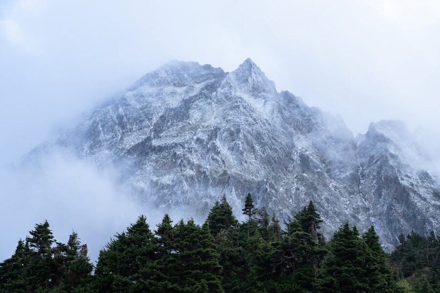
Forks averages 119 inches of rainfall a year, more than any other town in the contiguous United States. About 206 days are rainy. The driest months, July and August, still average four or five inches. Temperatures are mild year-round, mid-60s to low 70s in summer, mid-40s in winter, but the wind off the Pacific cuts colder than the thermometer suggests, especially on the beaches. Layer aggressively and pack waterproof boots, even in summer. Sequim, on the rain-shadow side of the peninsula, gets only about 16 inches of rain a year, which is genuinely wild for two towns 95 miles apart.
If you’re choosing a season:
- Summer (Jun-Aug): warmest, busiest, best for hiking, expensive lodging.
- September: festival, lodging gone by April, leaves starting to turn.
- October: wettest start of the rainy season, fewer crowds, rust-orange ferns. My pick if you’re doing the trip in honour of the books.
- Winter: greenest moss, emptiest beaches, some hot-springs and Hurricane Ridge access closed.
- Spring: drying out, grey whales offshore at La Push, fewer visitors than summer.
How to plan four days in Forks: a working itinerary
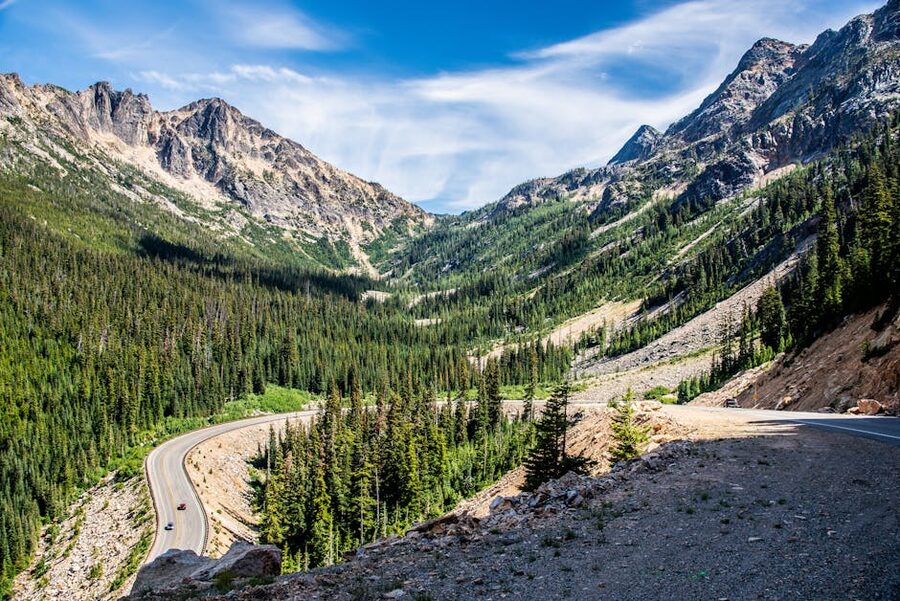
If you’ve flown into Seattle and you’ve got a rental car, this is the route I’d take, and roughly the route I did:
- Day 1: Sea-Tac to Bainbridge ferry, drive west on US-101, lunch in Port Angeles, kayak hour at Lake Crescent or Marymere Falls walk, on into Forks for the night. Dinner at Blakeslee’s.
- Day 2: Hoh Rain Forest in the morning, into town by lunchtime for the Chamber of Commerce, the Forever Twilight Collection, and the shopping street. Dinner at The In Place.
- Day 3: La Push and the beaches. Treaty line sign, Three Rivers cafe lunch, First Beach in the afternoon, Second Beach at golden hour. Drive twenty minutes north for Rialto Beach at sunset.
- Day 4: Sol Duc Falls in the morning, Sol Duc Hot Springs soak before lunch, drive east to Port Angeles, dinner at Bella Italia. If you’ve got an extra half-day, add Hurricane Ridge in the morning before the ferry back.
You could compress this into three days if you skipped Hurricane Ridge and Sol Duc, or into two long days if you skipped the rainforest, but the rainforest is the trip’s best surprise and the Twilight stops in town are mostly twenty minutes apiece. Don’t shortchange the National Park half.
If you’re reading along: where this trip fits in the Read and Travel Challenge
If you’re working through the Read and Travel Challenge, the Forks trip is one of the easier ones to plan domestically from anywhere in North America, and the rainforest puts it in the same emotional register as the Lord of the Rings tour through Matamata in New Zealand: a small town that unexpectedly became a pilgrimage. If your taste runs more rural and Atlantic, the Anne of Green Gables guide to Prince Edward Island is the gentler east-coast cousin to this trip. The Hunger Games filming-location guide for Asheville, North Carolina covers another book-to-screen pilgrimage where the locations were inspirations rather than original settings, much like Forks. And if you want a stark European contrast where the book’s setting is also where the film was made, see the Outlander pilgrim’s guide to Inverness.
Tours, festival tickets, and one-day options from Seattle
If you don’t want to drive yourself, two practical options:
- Twilight Forks Washington Tour from Seattle on Viator: a long single-day round-trip, leaves Seattle about 7 am, returns by 9-10 pm, includes the chamber of commerce, the treaty line, and First Beach. It’s a fourteen-hour day. You sleep on the way home.
- Small-Group Olympic Park & Forks Day Trip on GetYourGuide: a similar one-day version that leans more toward the National Park.
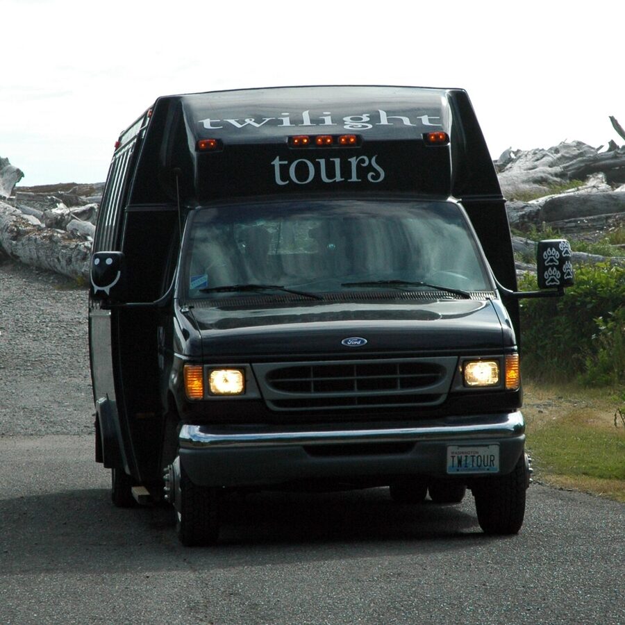
- Twilight Tours by Team Forks in town: a 13-seat shuttle through every stop in town, useful if you’ve already arrived and don’t want to drive yourself between Bella’s truck and the treaty line.
For the festival, tickets, the Very Important Twilighter pass, and the Bella’s Birthday Brunch all sell directly via the official Forever Twilight in Forks page. Don’t buy through resellers.
One last practical thing
Cell service west of Lake Crescent is unreliable to non-existent, including in town. Download Google Maps offline before you leave Port Angeles, screenshot the chamber of commerce’s Twilight map (or grab the printed one), and tell the front desk at your hotel which day you’re driving where. The roads to the rainforest and the beaches go through long stretches with no shoulder, no traffic, and no help. Drive accordingly. Then put on the soundtrack, lower the windows, and admit, even if only to yourself, that the spider-monkey line is, against all reason, a great moment in young-adult cinema.